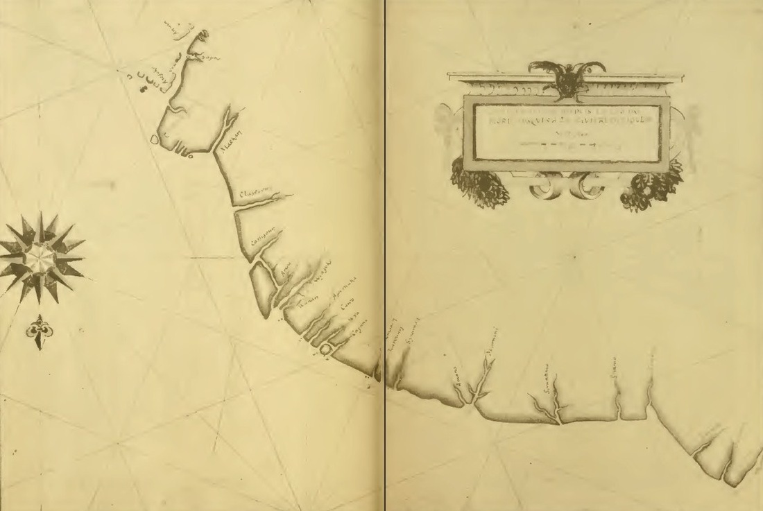
The North Brazil Coast
The map starts at the mouth of the Amazon all the way to the left and runs up the coast from there. It shows the coastal rivers of what is now the Amapá province. North is facing toward the bottom of the page.
The map starts at the mouth of the Amazon all the way to the left and runs up the coast from there. It shows the coastal rivers of what is now the Amapá province. North is facing toward the bottom of the page.
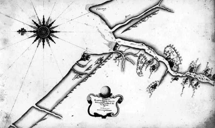
Map of the Wyapko Estuary (now the Oyapock River)
The current boundary between Brazil (top) and French Guiana (bottom). This is where the Pigeon abandoned the colonists and the site of the would be colony.
The current boundary between Brazil (top) and French Guiana (bottom). This is where the Pigeon abandoned the colonists and the site of the would be colony.
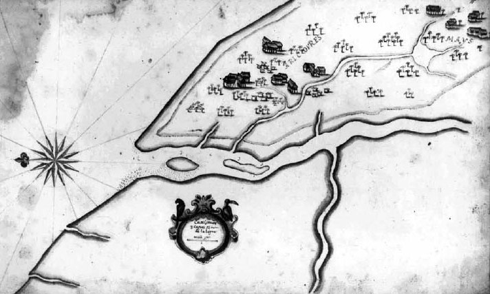
Map of the Cassipoure Estuary, Brazil
Now spelled Cassiporé. This was the most annoying part of the whole project. The first time they mention this river they give a coordinate reading. The coordinates they had were nowhere near where this river, or any river for that matter, are. Then they go to war against the Mays and I looked at the creek's drainage to locate the villages. I could find NONE of the streams indicated on this map. I know that map making at the time was relatively primitive and that coastal areas change quite a bit, but come on!
Now spelled Cassiporé. This was the most annoying part of the whole project. The first time they mention this river they give a coordinate reading. The coordinates they had were nowhere near where this river, or any river for that matter, are. Then they go to war against the Mays and I looked at the creek's drainage to locate the villages. I could find NONE of the streams indicated on this map. I know that map making at the time was relatively primitive and that coastal areas change quite a bit, but come on!
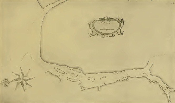
Map of the Essequibo River, Guyana
